Méthode navette image-terrain pour la réalisation des cartes d'occupation du sol en milieu africain : la cas de Yaoundé (Cameroun)
Résumé
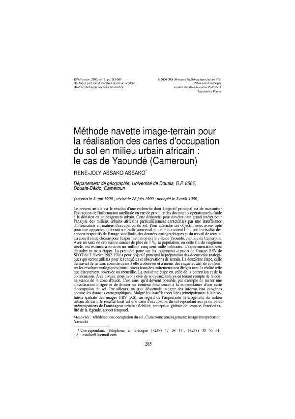
Le présent article est le résultat d'une recherche dont l'objectif principal est de maximiser l'extraction de l'information satellitale en vue de produire des documents opérationnels d'aide à la décision en aménagement urbain. Cette démarche peut s'avérer d'un grand intérêt pour l’analyse des milieux urbains africains particulièrement caractérises par une insuffisance d'information en maître d'occupation du sol. Pour atteindre cet objectif, nous avons opté pour une approche combinatoire multi-sources afin que le document final soit le résultat des apports respectifs de l'image satellitale, des données cartographiques et du travail de terrain. La zone d'étude choisie pour l'expérimentation est la ville de Yaoundé, capitale du Cameroun. Avec un taux de croissance annuel de plus de 7 %, sa population, en cette fin du vingtième siècle, est estimée à environ un million cinq cent mille habitants. L'expérimentation s'est déroulée en trois étapes. La première porte sur les traitements, a priori de l'image HRV de SPOT do 7 février 1992. Elle a pour objectif principal la préparation des documents analogi-ques qui servant utilisés pour les enquêtes et observations de terrain. La deuxième, étape, celle du travail de terrain, consiste quant à elle à observer et à mener des enquêtes afin de confron-ter les résultats analogiques (transitoires) issus des traitements non dirigés avec la réalité telle que directement observée ou recueillie. La troisième étape est celle de la correction et de la combinaison. À ce niveau, nous avons crée de nouveaux indices en tenant compte de la con-naissance de la zone d'étude. C'est ainsi qu'il devient possible, par exemple de mener une classification dirigée et de donner un contenu fonctionnel à la nomenclature d'une carte d'occupation du sol. Par ailleurs, on peut désormais intégrer des informations exogènes comme les données cartographiques. Malgré les insuffisances liées principalement à la réso-lution spatiale des images HRV (XS), au regard de l'importante hétérogénéité du milieu urbain africain, le résultat final est une carte d'occupation du sol répondant aux principales préoccupations de l'aménageur urbain : fiabilité, perception globale de l'espace, fonctionnalité de la légende, apport temporel.
Abstract
The present article is the result of a search(research) the main objective of which is to maximize the extraction of the information satellitale to produce operational documents of help(assistant) to the decision in urban organization. This step(method) can turn out of a big interest for the analysis of the African urban circles particularly characterize by an incapacity of information in boss of activity(occupation) of the ground. To reach(affect) this objective, we opted for a combinatorial approach multi-sources so that the final document is the result of the respective contributions of the satellitale image, the cartographic data and the work of ground. The experiment took place in three stages. The first concerns treatments, a priori of the image HRV of SPOTLIGHT doh in February 7, 1992. She(it) has for main objective the preparation of the analogical documents whom serving used for inquiries and observations of ground. The second, stage, that of the work of ground, consists as for her(it) to observe and to lead inquiries to confront the (passing) analogical results stemming from treatments not steered with the reality such as directly observed or collected. The third stage is that of the correction and the combination(overall). At this level, we have the knowledge of the zone of study creates new indications by taking into account. And so it(he) becomes possible, for example to lead a steered classification and to give a functional contents to the naming of a card of activity(occupation) of the ground. Besides, one can henceforth integrate exogènes information as the cartographic data. In spite of the incapacities bound(connected) mainly to the spatial resolution of the images HRV ( XS), Towards the important heterogeneousness of the African urban environment (middle), the final result is a card of activity (occupation) of the ground answering the main concerns(preoccupations) of the urban aménageur : reliability, global perception of the space, feature of the legend, temporal contribution.
Lire l’article
PDF de 19 pages, tel qu’imprimé dans la revue, pages 285 à 303. En libre accès.
Pas encore de consultation enregistrée.