Réflexion sur la diffusion des données à référence spatiale
Résumé
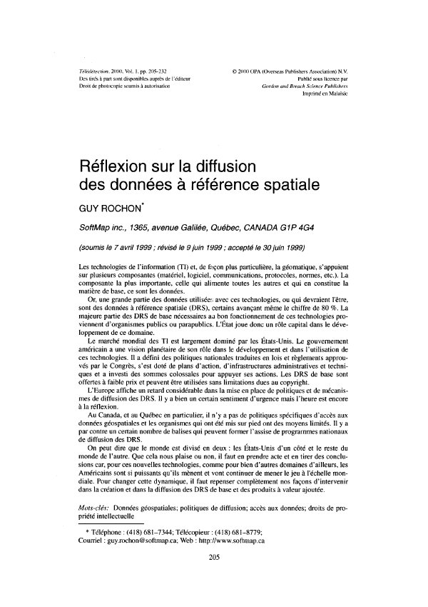
Les technologies de l'information (TI) et, de façon plus particulière, la géomatique, s'appuient sur plusieurs composantes (matériel, logiciel, communications, protocoles, normes, etc.). La composante la plus importante, celle qui alimente toutes les autres et qui en constitue la matière de base, ce sont les données.
Or, une grande partie des données utilisées avec ces technologies, ou qui devraient l'être, sont des données à référence spatiale (DRS), certains avançant même le chiffre de 80 %. La majeure partie des DRS de base nécessaires ai bon fonctionnement de ces technologies pro-viennent d'organismes publics ou parapublics. L'État joue donc un rôle capital dans le déve-loppement de ce domaine,
Le marché mondial des TI est largement dominé par les États-Unis. Le gouvernement américain a une vision planétaire de son rôle dans le développement et dans l'utilisation de ces technologies. Il a défini des politiques nationales traduites en lois et règlements approuvés par le Congrès, s'est doté de plans d'action. d'infrastructures administratives et techni-ques et a investi des sommes colossales pour appuyer ses actions. Les DRS de base sont offertes à faible prix et peuvent être utilisées sans limitations dues au copyright.
L’Europe affiche un retard considérable dans la mise en place de publiques et de mécanis-mes de diffusion des DRS. Il y a bien un certain sentiment d'urgence mais l'heure est encore à la réflexion.
Au Canada, et au Québec en particulier, il n'y a pas de politiques spécifiques d'accès aux données géospatiales et les organismes qui ont été mis sur pied ont des moyens limités. Il y a par contre un certain nombre de balises qui peuvent former l'assise de programmes nationaux de diffusion des DRS
On peut dire que le monde est divisé en deux : les États-Unis d'un côté et le reste du monde de l'autre. Que cela nous plaise ou non, il faut en prendre acte et en tirer des conclu-sions car, pour ces nouvelles technologies, comme pour bien d'autres domaines d'ailleurs, les Américains sont si puissants qu'ils mènent et vont continuer de mener le jeu à l'échelle mon-diale. Pour changer cette dynamique, il faut repenser complètement nos façons d'intervenir dans la création et dans la diffusion des DRS de base et des produits à valeur ajoutée.
Abstract
Information technologies and particularly geomatics are based on many component (hardware, software, communications , protocols, standards, etc). The most important, the one that feeds all others and forms the base of the architecture, is data. A large part of the data is georeferenced, some authors considering that they come for more than 80 %. And most of these georeferenced data come from public administrations The role of government is thus of prime concern in the development of this technology.
The world market in information technology is largely dominated by the United Sates. The federal government has a world vision of this technology, a national policy translated in laws and ordinances approved by the Congress, has action plans, administrative and technical infrastructures and has invested huge sums to support these plans. Georeferenced data are offered at very low price and free copyright restrictions to public distribution.
Europe presents a considerable lag in the implementation of policies and procedures to disseminate geospatial data. Though a certain awareness of urgency is presented in the different analysis of the situation, no plans of action have been taken by governments to fundamentally change the basis of the problems. Time is still to reflection.
In Canada, and in Quebec particularly, there are no specific policies to widely open the access to geospatial data. Public organisations in charge of data distribution have limited power and resources. On the other hand, the laws and the organisational bases are already in place. They simply have to be enforced and given the required resources.
New Zealand and Australia have national policies and joint organisations to facilitate the access and distribution to geospatial data, even tough the extent of their efforts are far from being comparable to what exists in United States
Therefore the world could be split in two, On one side, the United States with open poli-cies on geospatial data access and cost recovery and a very aggressive commercial (if not political) strategy to a world domination in information technology. On the other side, the rest of the world with more or less deep rooted policies and administrative procedures that consti-tute effective barriers to the use of geospatial data and the development of an economic and commercial force in this domain.
It is easy to predict the issue of such a situation in absence of drastic changes. Not only the infrastructure of the information highway is being built with American technologies, as hard-ware and software are already largely dominated by the United States, but the content (data) will also eventually come from the note source. It is a copy of a well-known model already present in some other domains (film, music, news on television, etc.).
There is no option but to change the dynamics of this situation and completely rethink our approach to the creation and dissemination of geospatial data.
Lire l’article
PDF de 28 pages, tel qu’imprimé dans la revue, pages 205 à 232. En libre accès.
Pas encore de consultation enregistrée.