Caractérisation lithologique du Haut Atlas marocain à l'aide des données d'Aster et de mesures spectrales de terrain
Résumé
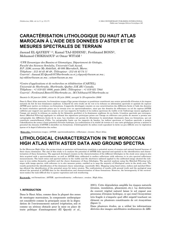
Dans le Haut Atlas marocain, les formations rouges d’âge permo-triasique ou postérieur constituent une source potentielle d’érosion et de risques naturels du fait de leur dominance argileuse. L’objectif de cette étude est de voir si la richesse en information spectrale et spatiale du capteur ASTER peut mettre en évidence ces formations. L’approche développée consiste en une caractérisation des différents faciès à l’aide des données de haute résolution spectrale prises sur le terrain avec un spectroradiomètre, ainsi que des données de réflectance au sol du capteur ASTER calibrées par rapport aux spectres acquis au sol. Les rapports de bandes et les indices spectraux du visible et de l’infrarouge moyen appliqués à l’image ont montré la richesse en oxydes de fer (hématite, goethite) et la dominance argileuse de ces faciès. L’analyse spectrale par correspon-dance (Matched Filtering) appliquée en utilisant des signatures prototypes prises sur l’image en référence aux points de mesure a permis une cartographie des différents faciès de la zone. Les résultats ont permis de déterminer la minéralogie dominante dans ces formations, qui est constituée essentiellement d’illite. La cartographie basée sur les rapports de bandes, les indices spectraux et l’analyse spectrale a permis l’identification des zones à haut potentiel d’érosion hydrique. La confrontation à la réalité de terrain et à une carte géologique précise a montré le potentiel des données d’ASTER à identifier ces formations. L’hétérogénéité du milieu rend cependant la tâche un peu difficile avec la végétation éparse et le degré d’altération des roches
Abstract
In the Moroccan High Atlas, the permo-triasic or posterior red formations constitute a potential source of erosion and natural hazard because of their clayey dominance. The aim of this study is to analyze the potential of ASTER data (spectral and spatial) in the identification and charac-terization of these formations. The approach developed consists in the characterization of the different lithologies in the study area using in situ data acquired with a spectroradiometer, as well as ASTER data calibrated to surface reflectance with reference to in situ spectral reflectance measurements. The band ratios and spectral indices in the visible and the shortwave infrared applied to the calibrated image showed the rich-ness in iron oxides (hematite, goethite) and the clayey dominance of these lithologies. The spectral analysis using the Matched Filtering tech-nique with image spectra, with reference to in situ measure points, enabled us to map the majority of lithological units in the study area. The results permitted the identification of the dominant clayey mineralogy, essentially illite. Mapping using band ratios, indices and matched filter-ing allowed the identification of the potential areas for water erosion. The confrontation of results with ground truth and the geological map showed the potential of ASTER data in the identification and characterization of these formations. However, the heterogeneity of the environ-ment makes the task difficult due to sparse vegetation and rock weathering
Lire l’article
PDF de 23 pages, tel qu’imprimé dans la revue, pages 153 à 175. En libre accès.
Pas encore de consultation enregistrée.