Comptes rendus d'ouvrages
Résumé
BÉGNI, GÉRARD (réd) (2002) Observing our environment from space : new solutions for a millennium. AA balkima, Lisse, xii + 435 p., 264 fig., 86 tabl., 17,5 x 25 cm, 119 EUROS.
SKIDMORE, ANDREW (réd.) (2002), Environmental modelling with GIS and remote sensing. Taylor & Francis, London, xviii + 268 p., 44 fig., 24 tabl., 15,5 x 23,5 cm, 30 EUROS.
ILIFFE, JONATHAN (2002) Datums and map projections for remote sensing, GIS and surveying. Réimpression de l’édition de 2000, Whittles Publishing (CRC Press), Boca Raton, viii + 150 p., 84 fig., 12 tabl., 15,5 x 23,5 cm, 70 $US. ISBN 1-870325-28-1.
LOWMAN, PAUL D. JR (2002) Exploring Space, exploring Earth : new understanding of the Earth from space research. Cambridge University Press, Cambridge, xx + 362 p., 144 fig., 7 tabl., 17,5 x 24,5 cm, 40,00 $US. ISBN 0-521-89062-4.
WALD, LUCIEN (2002) Data fusion : definitions and architectures; fusion of images of different spatial resolutions. Les Presses de l’École des Mines de Paris, Paris, 198 p., 56 fig., 8 tabl., 14,5 x 20,5 cm, 40 EUR. ISBN 2-911762-38-X.
GRAHAM, RON and KOH, ALEXANDER (2002) Digital aerial survey : theory and practice. Whittles Publishing (CRC Press), Boca Raton, viii + 248 p., 128 fig., 18 tabl., 1 CD-ROM 16 x 24 cm, £ 70. ISBN 1-870325-98-2.
READ, ROGER and GRAHAM, RON (2002) Manual of aerial survey : primary data acquisition. Whittles Publishing (CRC Press), Boca Raton, vi + 408 p., 208 fig., 37 tabl., 16 x 24 cm, £ 65. ISBN 1-870325-62-1.
RIEKE, GEORGE (2003) Detection of light : from the ultraviolet to the submillimeter. Cambridge University Press, Cambridge, xii + 363 p., 118 fig., 11 tabl., 17 x 24,5 cm, 40 $US. ISBN 0-521-01710-6.
Lire l’article
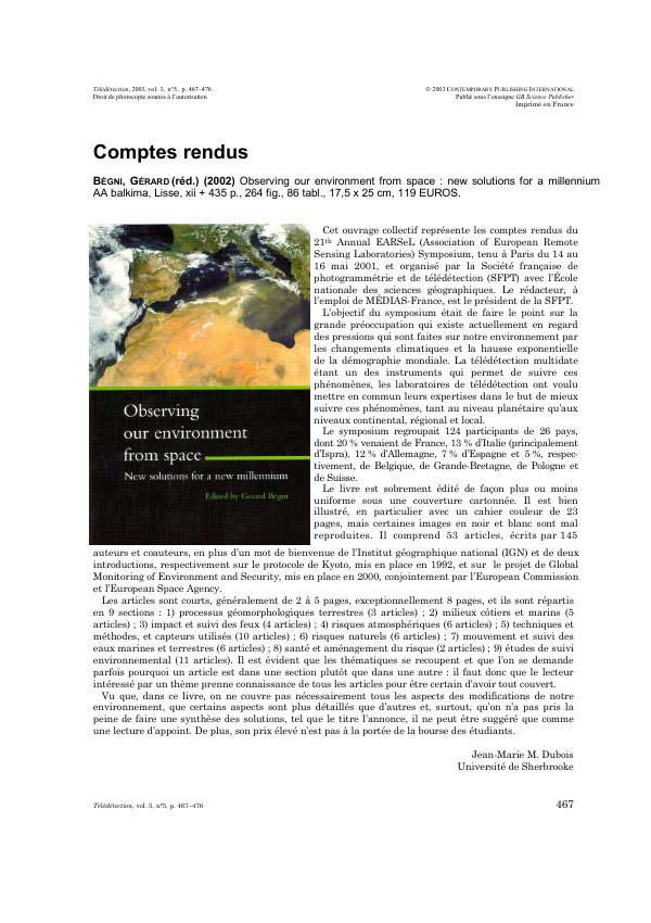
PDF de 10 pages, tel qu’imprimé dans la revue, pages 467 à 476. En libre accès.
Pas encore de consultation enregistrée.