Utilisation de la télédétection et des SIG pour l'aide à la surveillance du risque de dégradation des parcours steppiques
Résumé
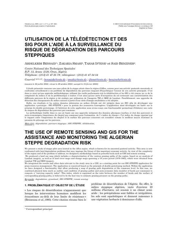
L'étude présentée concerne une zone pilote de la steppe située dans la région d'Aflou, connue pour son activité pastorale ancestrale et confrontée actuellement à un problème de dégradation des parcours risquant d'hypothéquer l'avenir de son activité principale. C'est dans ce souci qu'une approche méthodologique utilisant des outils performants tels la télédétection et les SIG a été conçue au vu de la complexité du milieu et de la problématique à traiter. C’est ainsi qu’une carte d’occupation du sol contenant une caractérisation des différents parcours de la région a été réalisée par utilisation de l’imagerie TM et MSS de Landsat. Parallèlement, une approche de détection des changements du milieu naturel à partir d’une série d’images multidates a été adoptée.
Enfin, ces résultats et les autres données inhérentes au milieu d’étude ont été intégrés dans un SIG afin de développer une application « prototype : SIG-STEPPE » pour la gestion des ressources fourragères. L’application ainsi développée est basée sur le principe du double prototypage. À l’intérieur de cette application nous avons conçu une fonctionnalité permettant d’élaborer une carte de risques de dégradation des parcours par commune.
La méthodologie établie dans ce cas est basée sur une approche intégrant des données physiques (surface et état des parcours) et socio-économiques (importance du cheptel par commune) pour l'estimation de l’ « indice de charge ». Cet indice de charge exprimé par le rapport entre l’importance du cheptel et la surface des parcours concernés est considéré comme le meilleur moyen d'estimer la pression de pâturage sur les parcours.
Abstract
We present a study of steppe pilot area located in the Aflou region, which is known for its ancestral pastoral activity. This area is now confronted with land degradation problems that may impinge the future of this important economic activity. In view of the complexity of the region and of the problem to address, we designed a methodology based on powerful tools such as GIS and remote sensing.
We produced a land use map which includes a characterization of the various grazing paths of the region, based on an analysis of Landsat imagery, as well as of land cover maps and change maps spanning a 19 years period (1976-1995), which were obtained from Landsat TM and MSS imagery.
We integrated the results and other data relevant to the study area in a GIS, as a starting point for our SIG-STEPPE application for grass resources management. The application is conceived based on the principle of double-prototyping method. Within the application we have designed a functionality that allow producing a map of grazing path degradation at the commune level. In this case, we combined physical data (such as surface and condition of grazing paths) and socio-economic data (number of herds per commune) to compute a “carrying capacity index”. This index, which is expressed as the ratio between the number of herds and the surface of corresponding grazing paths, is believed to be the best way to estimate grazing pressure on the grazing paths.
Lire l’article
PDF de 16 pages, tel qu’imprimé dans la revue, pages 387 à 402. En libre accès.
Pas encore de consultation enregistrée.